Biophysical Marine Science Research | Remote Sensing of Changing Oceanographic Conditions
Development of environmental models describing changing conditions in the Gulf of Maine by integrating oceanographic buoy and remote sensing observations.
Integration of different data streams for comprehensive view of system.
Traditional coastal monitoring of changing oceanographic conditions relied on extensive field sampling campaigns and in-situ observations. Now, the use of remote sensing products including satellite imagery may allow for near-realtime observations of economically relevant events including large-scale algal blooms and marine heatwaves.
Understanding the signals of these devices necessitates data harmonization across tools and the “ground-truthing” of satellite observations using traditional field sampling campaigns or other environmental observations. The present project intends to integrate offshore NOAA buoy observations with satellite observations to ground-truth changing oceanographic conditions.
The present project is in the development stage, with the analysis portion of work expected to begin in October, 2026.
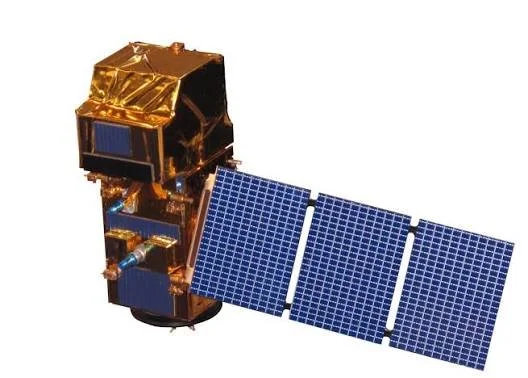
Sentinel-2 Earth-Observing Satellite from the European Space Agency.
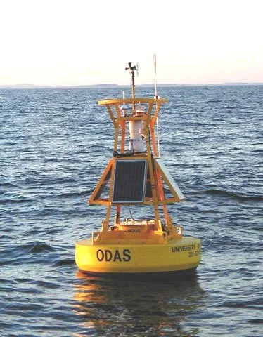
Oceanic Monitoring Buoy from National Oceanic and Atmospheric Administration, Maintained by the University of New Hampshire.